Heavy Snow Warning Issued
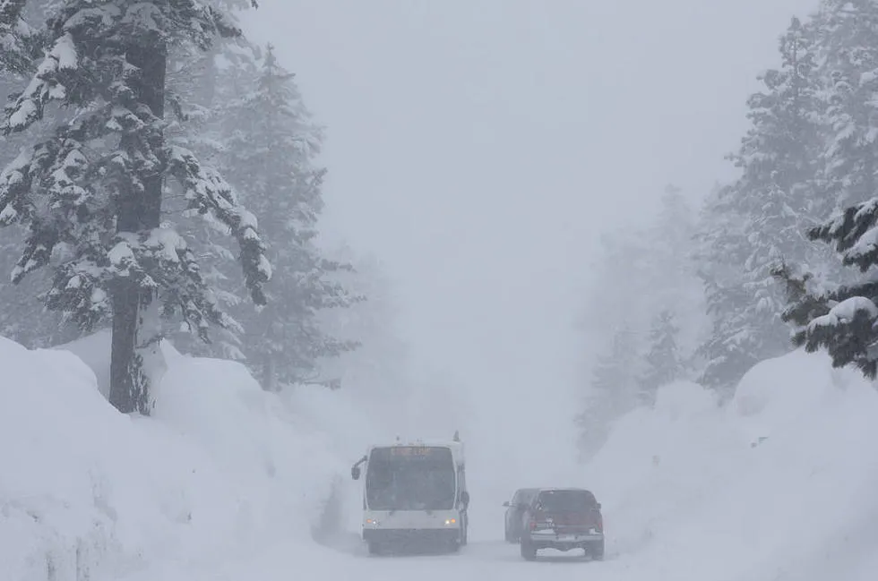
Environment Canada has issued a heavy snow warning for parts of south and central Vancouver Island. The warning comes as heavy convective flurries are expected to produce quick bursts of snowfall during the morning hours, with up to 5 centimetres of snow possible.
Snowfall warnings are typically issued when weather conditions are expected to create hazardous driving conditions due to accumulating snow. The current warning highlights the potential for difficult travel, particularly during the Tuesday evening and Wednesday morning commutes.
Wider Weather Impacts
In addition to Vancouver Island, a complex storm system is set to deliver freezing rain and ice pellets to parts of central and eastern Ontario. Heavy snow is anticipated east of Lake Superior on Wednesday, further complicating travel plans in the region.
The National Weather Service (NWS) has also issued winter storm watches for Michigan and Maine. In Michigan, heavy snow alerts indicate total accumulations could range from 3 to 9 inches, while Maine’s winter storm watch warns of heavy mixed precipitation, including snow accumulations of up to 11 inches and ice accumulations of 3/10 of an inch.
Travel Advisory
Officials are advising residents to prepare for potentially hazardous conditions. “Travel could be very difficult. The hazardous conditions will impact the Tuesday evening and Wednesday morning commutes,” a spokesperson noted.
Despite the warnings, there remains uncertainty regarding the exact cutoff location of different precipitation types. “Uncertainty still exists and snowfall amounts and location could shift,” experts have cautioned. Details remain unconfirmed.
Winter storms in March and April are not unusual for Michigan, making this warning part of a familiar pattern for residents. As the storm system progresses, local authorities are monitoring the situation closely to provide updates as necessary.