“Les précipitations débuteront sous forme de neige, puis se changeront graduellement en grésil ou en pluie verglaçante lundi,” said a meteorologist regarding the impending snowstorm set to impact northwest Quebec.
The storm is expected to bring between 20 and 40 centimeters of snow to affected regions, with Chibougamau and the northern Lac-Saint-Jean anticipating significant snowfall. An orange warning for a winter storm has been issued for the western part of the province, indicating the severity of the situation.
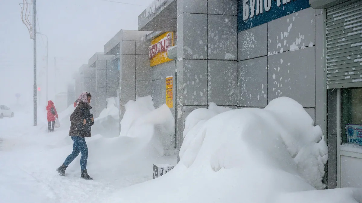
Visibility during the storm is projected to be nearly zero due to heavy snow and blowing snow conditions. Additionally, winds could reach up to 70 kilometers per hour, contributing to hazardous travel conditions across the area.
Guillaume Perron noted, “On attend avec ça, effectivement, des vents qui pourraient aller jusqu’à près de 50 km/h qui pourraient causer un peu de poudrerie,” highlighting the potential for blowing snow that may further reduce visibility.
In some areas, rain and freezing rain are also expected, with up to 5 millimeters of freezing rain possible. This combination of precipitation types could create dangerous conditions for residents.
Temperatures are forecasted to be above freezing on Tuesday, which may lead to a transition from snow to rain, complicating the storm’s impact. The situation is being closely monitored as the storm approaches.
A Colorado low is affecting several areas of Quebec, particularly the northern Lac-Saint-Jean and Chibougamau, where residents are advised to stay informed and prepare for the storm.
As the storm develops, officials will continue to provide updates on the expected weather conditions and any necessary safety measures. Details remain unconfirmed regarding the full extent of the storm’s impact.